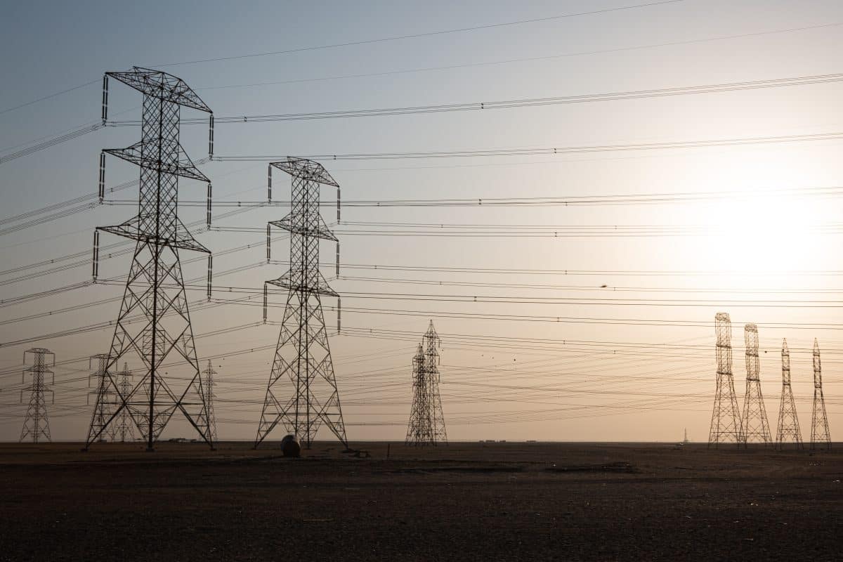
en.Wedoany.com Reported - Recently, the Ministry of Natural Resources, the National Forestry and Grassland Administration, and the China Geological Survey jointly released the "List of Innovative Applicable Technologies for Ecological Restoration (Third Batch)". The smart monitoring and effectiveness assessment technology for ecological restoration in the Northern Shaanxi coal mining area, led by China Coal Aerial Survey and Remote Sensing Group, was successfully selected.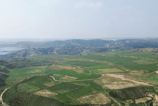
Certified by the China Coal Industry Association, this technological achievement has generally reached the international advanced level, with the remote sensing data intelligent interpretation technology reaching the international leading level, marking a major breakthrough in China's core technology field of mine ecological restoration.
This technological achievement was developed by the Territorial Spatial Ecological Restoration Intelligent Perception Innovation Team of the Remote Sensing Information Company (Coal Aerial Geological Exploration Institute) under China Coal Aerial Survey and Remote Sensing Group. Targeting the complex geological conditions and fragile ecological environment characteristics of the coal mining area on the Loess Plateau in Northern Shaanxi, it constructs an "air-space-ground-time" integrated intelligent monitoring technology system, integrating multiple technical means such as multi-source remote sensing, geographic information systems, the Internet of Things, and analytical testing. This achieves comprehensive perception of ecological issues and evolution patterns in the mining area, including coal fires, goaf collapses, ground fissures, land damage, and vegetation destruction, forming a three-dimensional regulatory model of "monitoring from the sky, inspecting on the ground, and managing online."
Furthermore, this technological achievement establishes an intelligent identification system for mine ecological issues and constructs a quantitative effectiveness assessment system covering indicators such as geological stability, soil quality, soil conservation, vegetation carbon sinks, vegetation growth, and biodiversity. It forms a technical closed loop of "precise perception—intelligent diagnosis—scientific assessment," effectively solving common industry problems in ecologically fragile areas of Northern Shaanxi, such as low mine environmental monitoring efficiency, poor diagnostic accuracy, and difficult effectiveness assessment.
Currently, this technological achievement has been applied on a large scale in the Northern Shaanxi coal mining area, serving key projects such as the comprehensive geological environment survey of Yulin mines and the treatment of coal mining subsidence areas, covering more than 10 coal mines.
Application data shows that this technological achievement has increased monitoring efficiency by more than 10 times, with the accuracy of ecological restoration effectiveness assessment exceeding 90%, significantly reducing field operation intensity and comprehensive costs. It has broad prospects for promotion and application in coal mining areas of the Yellow River Basin.
Li Congcong, Chief Expert of China Coal Aerial Survey and Remote Sensing Group, stated: "We will focus on ecological protection of the Northern Shaanxi Loess Plateau and the Yellow River Basin, deepen key technology research and achievement transformation and application, support green and low-carbon development of mining areas with intelligent and precise technologies, and provide strong support for building an ecological security barrier and promoting the coordinated advancement of resource development and ecological environmental protection."
This article is compiled by Wedoany. All AI citations must indicate the source as "Wedoany". If there is any infringement or other issues, please notify us promptly, and we will modify or delete it accordingly. Email: news@wedoany.com